
Check It Out! Which Condo or House Zones Don't Flood in the Rainy Season (Latest Update, October 2026)
Last updated: October 5, 2026 — flood conditions can change quickly with rainfall and drainage progress. Always verify real-time information from official sources again before making a decision.
The latest round of flooding in Bangkok, from late September into early October 2026, has made the question “which condo or house zones don't flood?” something anyone looking for a new place to live has to take seriously. This article updates the latest situation, compares it against the risk zones we compiled earlier, and explains how to check a location yourself before deciding to rent.
Latest Bangkok Flood Situation (as of October 5, 2026)
• Water levels in Bangkok are continuing to fall, and many roads are passable again, though some spots still have deep standing water
• Lat Krabang remains an area of concern: Chalongkrung Road near KMITL had water roughly 15-25 cm deep, and deep flooding was reported on Chao Khun Thahan Road on October 4. The BMA advises small vehicles to avoid these routes
• The Bangkok governor stated on October 4 that most main canals are improving, except Khlong Prawet Burirom, and that recovery work in Lat Krabang is being accelerated
• The BMA has warned of further heavy rain on October 5-6 and 10-11, and has deployed water pumps to 4 at-risk districts
• Earlier, around October 1, standing water was reported at multiple points around Chaengwattana, Ngamwongwan, Borommaratchachonnani, and Ratchaphruek roads
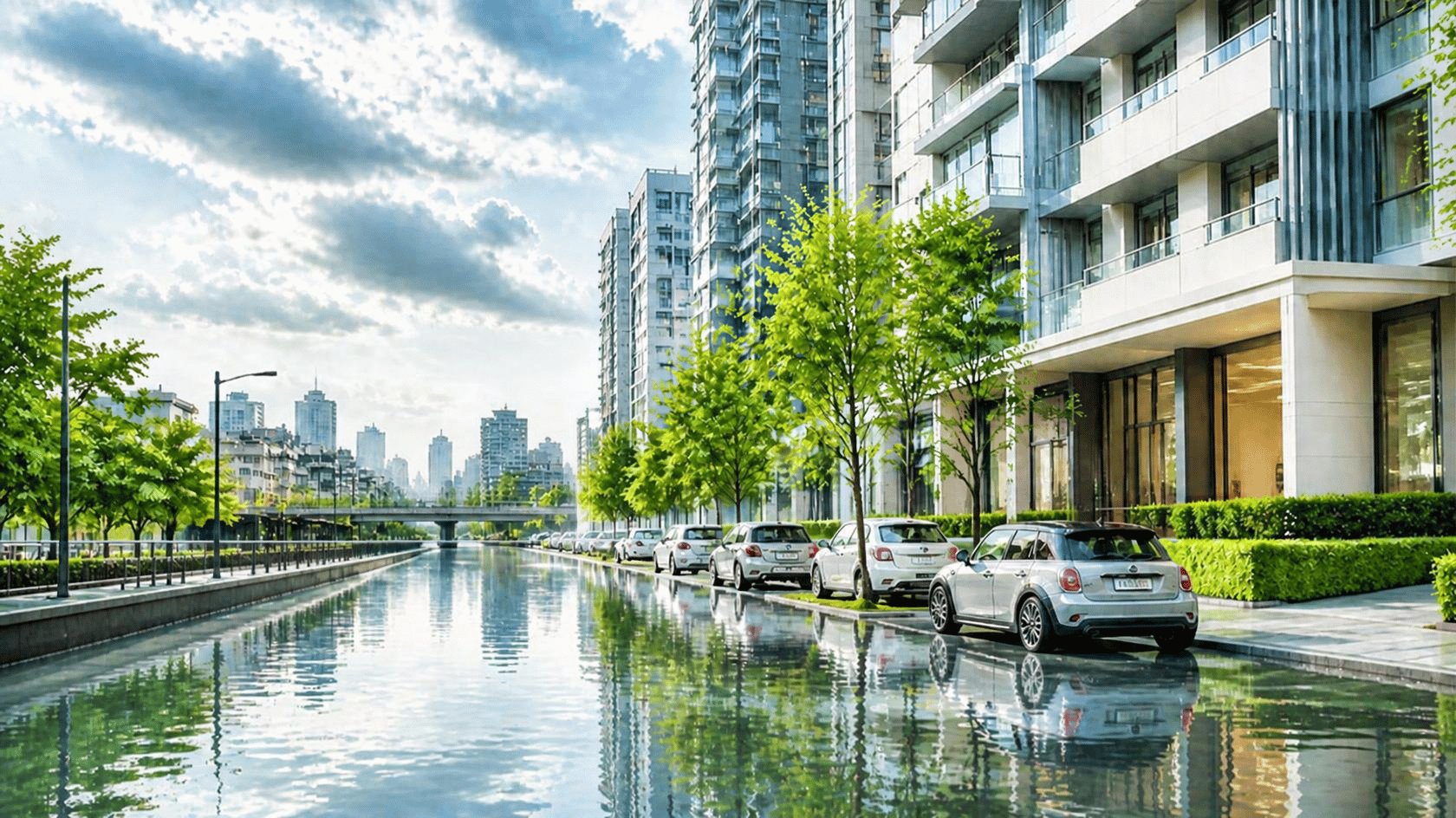
Comparing This Round's Actual Flooding with the Earlier Risk Zones
When we compare the areas with flood reports this round against the risk zones identified in our earlier article, most line up — but a few fall outside the original list.
Area | Status This Round (per reports) | Compared to the Earlier Article |
Lat Krabang | Deep flooding with standing water on multiple roads (Chalongkrung, Luang Phaeng, Chao Khun Thahan) | Consistent — in the original high-risk eastern zone |
Min Buri | BMA monitoring system shows a flood status on Suwinthawong Road (Oct 4) | Consistent — in the original high-risk eastern zone |
Chaengwattana-Ngamwongwan area | Reports of standing water at multiple points around Oct 1 | Consistent with the northern zone (Lak Si) listed earlier |
Lat Phrao (Nak Niwat Rd, Soi 38) | Monitoring system shows a spot-specific flood status (Oct 4) | Not in the original list — near the northern zone |
Borommaratchachonnani / Ratchaphruek | Reports of standing water on main roads around Oct 1 | Not in the original list (western side) |
The key takeaway: a list of at-risk districts is only a rough guide. Real flooding tends to happen at specific roads and sois, and can occur outside the original list. Renters should check the road and soi of the exact location they're considering, rather than judging by district name alone.
Types of Areas to Be Especially Careful With
Eastern zone: Lat Krabang, Nong Chok, Khlong Sam Wa, Min Buri, Saphan Sung, Prawet
These are low-lying areas where floodwater often stays for a long time before draining. Although there are plans for an extended drainage tunnel covering these 6 districts, news reports say construction is expected to start in late 2026 and finish in 2031 — meaning the risk remains in the meantime.
Northern zone and the Chaengwattana corridor: Chatuchak, Bang Sue, Lak Si, Don Mueang
Dense canal-side communities and multiple canals crossing the area make drainage difficult during heavy rain. Some main roads here saw repeated standing water this round.
Along the Chao Phraya River and major canals
Housing near the Chao Phraya or major canals — such as Khlong Toei district — faces both overbank flooding during high tides and drainage systems that were already insufficient. Check the flood-protection measures and flood history of the specific project.
Districts with Better-Developed Drainage: Bang Na and Phra Khanong
Based on reports we compiled earlier, Bang Na has flood-protection embankments and multiple drainage canals, while Phra Khanong has several floodgates connecting to the Chao Phraya River. That said, among the news sources compiled for this update, the author did not find reports of deep flooding in these districts this round — but this is not a guarantee that every soi in the district is safe. Check on a spot-by-spot basis, just as you would for any other area.

Beyond Location: What Else to Check Before Renting
• Check real-time road flood levels from the BMA Drainage Department's monitoring system, and view the flood-risk map on the BMA GIS Portal
• Ask the juristic person (building management) or landlord about the project's flood history — both the latest round (Sep-Oct 2026) and earlier ones
• Check the project's access roads: even if the project itself doesn't flood, if the road leading in is flooded too deep for small cars to pass, it directly affects your commute and daily life
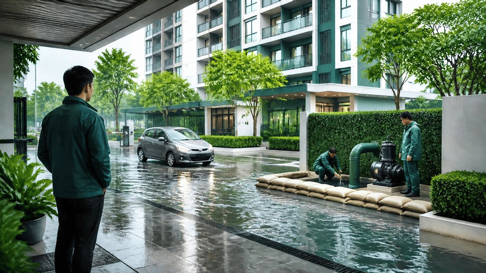
• Ask about the project's backup systems, such as water pumps, backup power for elevators and common areas, and flood protection for the parking area — especially basement levels
• Consider the floor of the unit and where you'll park — ground floors and basements are typically riskier
• Check whether the lease has a clause for force majeure events such as flooding, and consider tenant's contents insurance for personal belongings. If you have legal questions, consult a qualified professional
What to Do If Flooding Happens While You're Renting
• Closely follow warnings from the DDPM and the BMA
• Report emergencies via the 1784 hotline or LINE @1784DDPM, which lets you send photos and location in real time
Frequently Asked Questions About Renting During Flood Season
As of October 5, 2026, is Bangkok still flooded?
Water levels are continuing to fall and many roads are passable again, but deep standing water remains in parts of Lat Krabang, and the BMA has warned of further heavy rain on October 5-6 and 10-11. Check the latest conditions before traveling to view a unit.
Is renting a high-floor unit safe from flooding?
High-floor units usually aren't hit by floodwater directly, but may be affected indirectly — for example through the building's electrical systems, elevators, water pumps, or the access roads in and out of the project. Ask the building management about backup systems before deciding.
Where can I check whether a road or soi I'm considering floods?
Use the BMA Drainage Department's road flood-level monitoring system for real-time data, and the BMA GIS Portal for the flood-risk map. It's also worth asking the building management or existing residents in the area.
If an area has never flooded before, is it always safe?
Not necessarily. Rainfall, runoff from the north, and tidal surges vary each year, and urban development can change how water flows. Always use the latest information in your decision rather than relying on past history alone.


